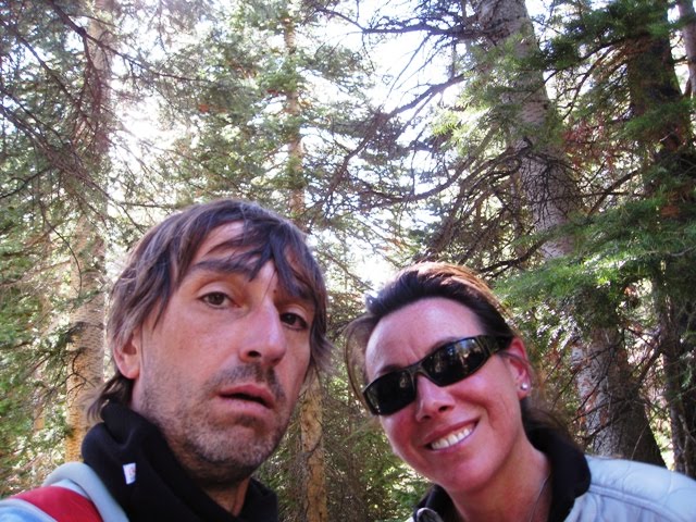
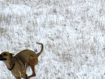
We got snow this week - fun!
It more or less melted in a few days, but we decided to try and hike Quandary Peak before any more snow
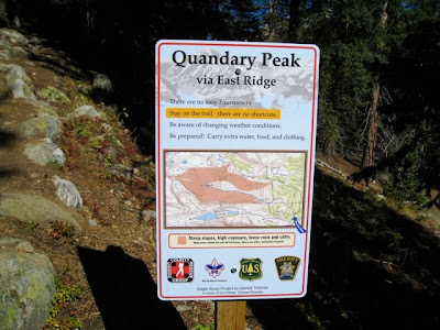
Quandary Peak is one of Colorado's 54 "14ers". We would take the "easy" way up, the East Ridge. The trail head is at 10,850', the summit is at 14,265' and the round trip hike would be 6.75 miles
This sign is true - there are no easy Fourteeners!
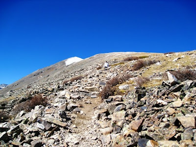
It is an easy start

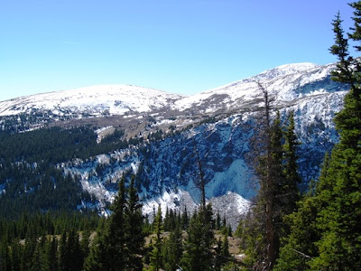
Nice views even while in the wooded sections

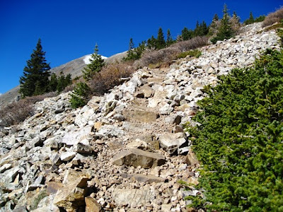
After maybe 1.5 miles it became more challenging. Not sure who built/placed these rock steps here and elsewhere along the trails - but it was appreciated
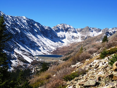
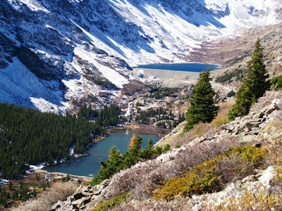
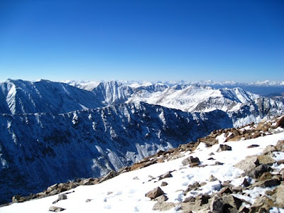
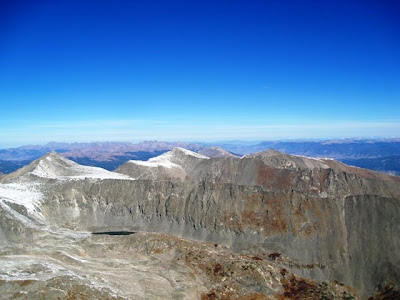
Blue Lakes. Hudson and I explored down there Sunday (next blog). The top lake is dammed and somehow is drinking water for Colorado Springs 100 miles away
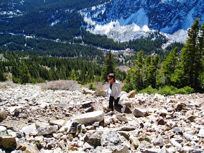
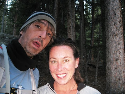
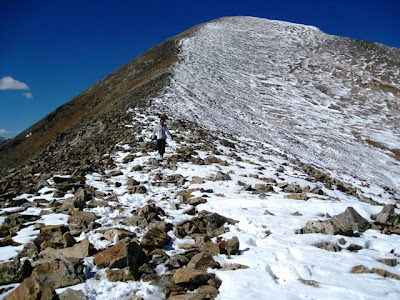
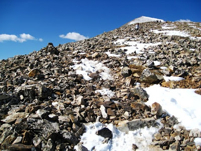
Maureen continuing to head up before more or less calling it a day - I went for another 5 minutes before also calling it a day once I realized how much longer it would be...

We were maybe 1 mile and 1,300' short. We hadn't eaten enough, we were in running shoes and it would be late by the time we were done or died (HaHa)
We headed back, went into Breckenridge, had food and then bought hiking shoes. For additional motivation I bought an $8 t-shirt that said
I Made It To The Top / Quandary Peak / Colorado / Elevation 14,265'We got a good sleep, had breakfast, packed some PB&J sandwiches and were all set for Attempt #2. We also got a much earlier start and were on the trail by 7:45am
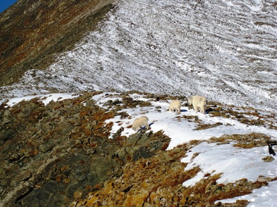
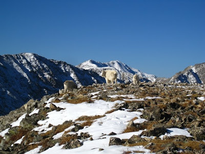
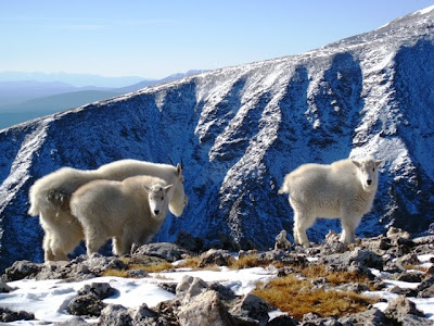
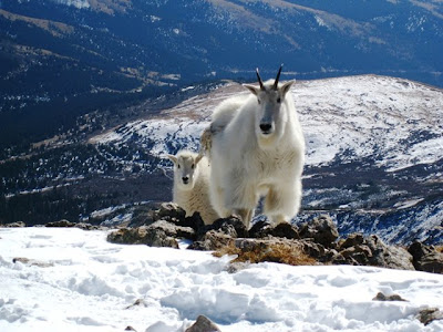
We didn't bother taking photos until we hit new terrain - terrain inhabited by mountain goats. Right on the trail
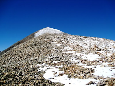
So...being scared of heights...we pretty much focused on the climb as it was rather terrifying - steep and snowy. But...that $8 t-shirt was waiting...
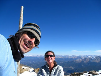
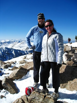
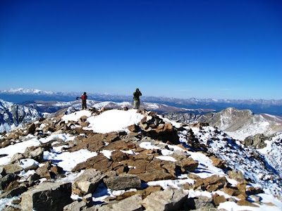
We did make the summit! Good for us!! Here we are at 14,265'
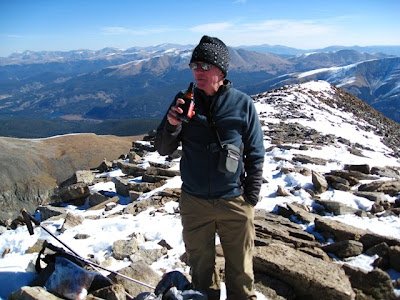
We met this guy and hiked with him the last mile (which took over an hour)
These two were also near us over the last mile (met them at the mountain goats)
This "stick" was the summit marker. I spent most of my 6 minutes on the summit lying down next to it. I did manage to take a few other pics below

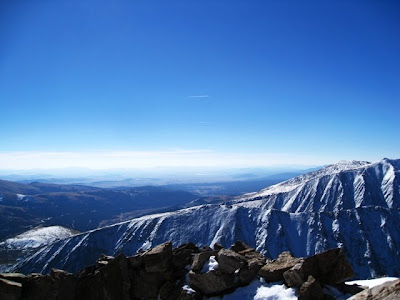

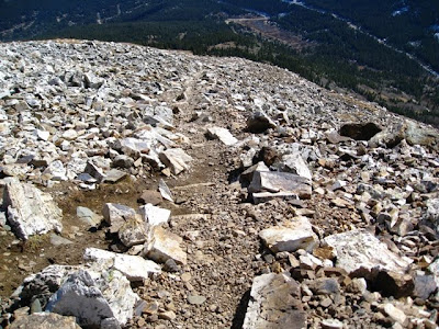
We were freaked about the descent - going down a very steep incline covered in snow that was now becoming slippery in the sun. Surprisingly, it wasn't as bad as expected. It wasn't good - but we were in no hurry. We also didn't take any pics the first hour or so on the way down. This shot is looking back up the 2-hour (round-trip) trail of fear
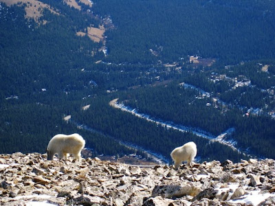
We ran into the mountain goats again

And then another mountain goat family

The last section of trail through the scree - the treeline is less than a mile away
And after 6 hours and 29 minutes we were done