We started at the Quandary Peak trail head and followed the bright green line as if we were heading to the summit - but turned left on Wheeler Trail. We then took a right on the first road and goofed around on both sides of the first lake and then ran to the dam (second lake). Round trip was maybe 5.1-miles with 1,250' of elevation gain, and a top elevation of 11,750'

On another section of this area a few miles away on McCullough Gulch Road was the other "portal". I can't find anything on what this is - one person thought it was "part of a water diversion project from the Pacific side to the Atlantic side" (the Continental Divide is about a mile away)

Not sure if this mining history or just an old house in disrepair

I can find no record of a Corona Placer - and this was not at 11,775 (maybe 300'-400' lower)

Random sights


Hud in the snow with a great stick

Looking at the dam (up high)


Hud possibly impressed with the views

The dam. I tried to find why this is for Colorado Springs. No luck. Actually not much luck researching this Blue Lake area (other than it was a mining area)


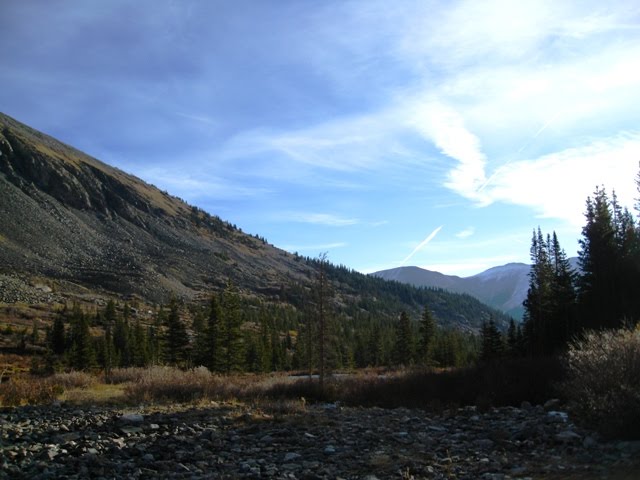
Heading back

Back on Wheeler Trail. An old mining shack?

??? - in the middle of the woods


Hud was equally puzzled

The Blue Lakes area was such a cool area I took Maureen there (in the car) on the way to Alma & Fairplay
I hadn't noticed all the mining ruins and remnants


No comments:
Post a Comment